Monday, January 26, 2015

first post of 411


http://www.yourchildlearns.com/middle_east_map.htm

Here is a interactive map of the middle east. I chose this for two reasons. One because its the only interactive map I could find. Second because I would like to become more familiar with that region of the world.

Tuesday, November 18, 2014

last weekly post #10


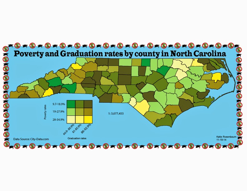
For this bivariate map it uses the choropleth and proportional symbol method to show the two different variables. you have the proportional symbol which shows the exact population and then the choropleth which shows the percent of rural population.

Rosenbaum Lab 10